SecuFire Action
From wildfire risk prediction to real-time operational decision support

SecuFire Action
From wildfire risk prediction to real-time operational decision support
Developed by EDHEC Climate Institute in scientific partnership with EDHEC Climate Innov, SecuFire Action is designed as an operational decision-support tool. By combining fire-propagation modelling hypotheses with multiple layers of information aligned with firefighters’ operational frameworks, it helps public authorities anticipate how situations may evolve, prioritise interventions, and save time on the ground by taking the right actions faster.
Once a fire starts, SecuFire Action combines weather, vegetation, topography, built-environment and operational data to model its potential evolution and help public authorities make faster, better-informed decisions. SecuFire Action is made available free of charge to public-sector organisations involved in wildfire prevention and response. It is also one of the few operational solutions based on a physical model, which can outperform AI-based approaches when fire-propagation data are limited or unavailable.
SecuFire Action embodies a core ambition of EDHEC Climate Institute: translating physical climate risk research into actionable knowledge for decision-makers.
The objective is not to replace operational expertise, but to complement it with science-based information that helps anticipate how situations may evolve and supports earlier, better-informed decisions.
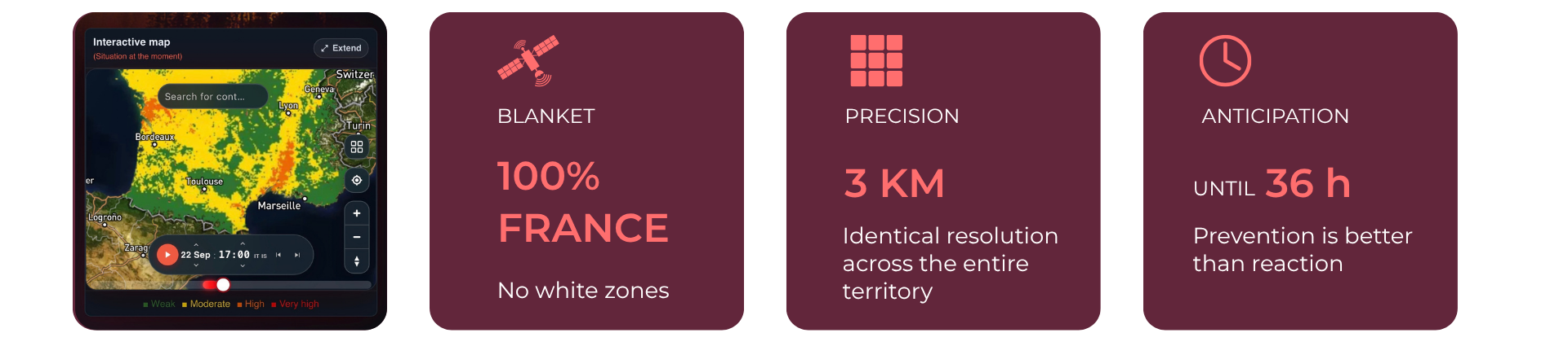
The EDHEC Climate Institute–EDHEC Climate Innov scientific partnership also addresses wildfire risk upstream. A satellite-based wildfire-risk forecasting service provides hourly forecasts up to 36 hours ahead, with a uniform 3 km resolution across metropolitan France.
Freely accessible to the public, it helps individuals and professionals anticipate periods of heightened wildfire risk and adapt their behaviour accordingly. Access the free wildfire-risk forecast →
SecuFire Action brings together complementary scientific and technological building blocks to model wildfire behaviour in changing conditions.
SecuFire Action combines eight complementary modules that provide a complete operational view of wildfire risk:

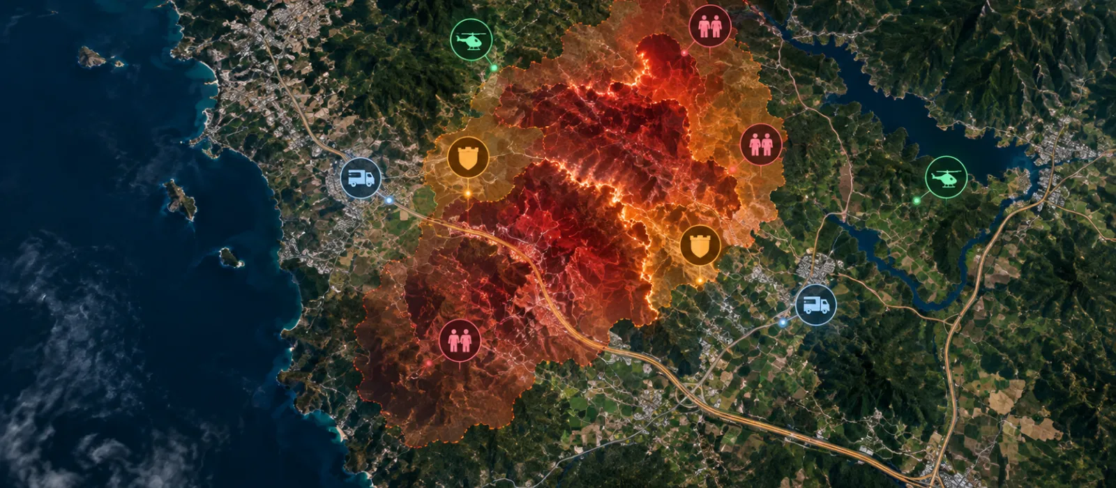
From the first available information on a fire, SecuFire Action combines environmental and operational data with the Balbi physical fire-spread model to project potential fire-front evolution across multiple hourly horizons.
Advances in fire-spread modelling have reduced computation time from around two hours to less than a minute, enabling faster analysis as fire conditions evolve.
SecuFire Action is already being used by French fire and rescue services and has been deployed during real wildfire events. Its projections have supported operational prioritisation in difficult terrain, providing an additional layer of information to help teams determine where and when to act.
From the moment the alert is raised, the “Fire Spread Prediction” Module automatically ingests the input data (weather forecasts, vegetation, topography, anthropocentric factors, initial fire perimeter) and projects the fire’s path. Within seconds, commanders identify the areas to evacuate, the sites to protect and the optimal positioning of ground and aerial resources.
Ahead of the crisis, the modules make it possible to inject extreme weather scenarios to test limits, map vulnerabilities and refine Business Continuity Plans (BCPs).
For Seveso and industrial site managers, SecuFire Action integrates with Internal Operation Plans (POI) and technological risk prevention plans (PPRT). It provides physical modelling of fire risk where it is mandatory.
SecuFire Action has attracted significant media attention, with television reports and press coverage highlighting how climate research and wildfire modeling can support faster, better-informed operational decisions.
Made available free of charge on a long-term basis to public authorities, including fire and rescue services (SDIS), local governments, intermunicipal authorities, forest managers and operators of critical infrastructure, SecuFire Action enables the prediction of wildfire behaviour at a 3 km spatial resolution over a rolling 36-hour horizon.
As wildfires become more frequent, severe and geographically widespread, understanding where and how risk is evolving is increasingly critical. Ahmed El Fadhel, CTO & Co-Founder of Climate Innov, explains how satellite data, physical modelling and AI are transforming wildfire science, from detecting fires to anticipating their spread and assessing future risk.